
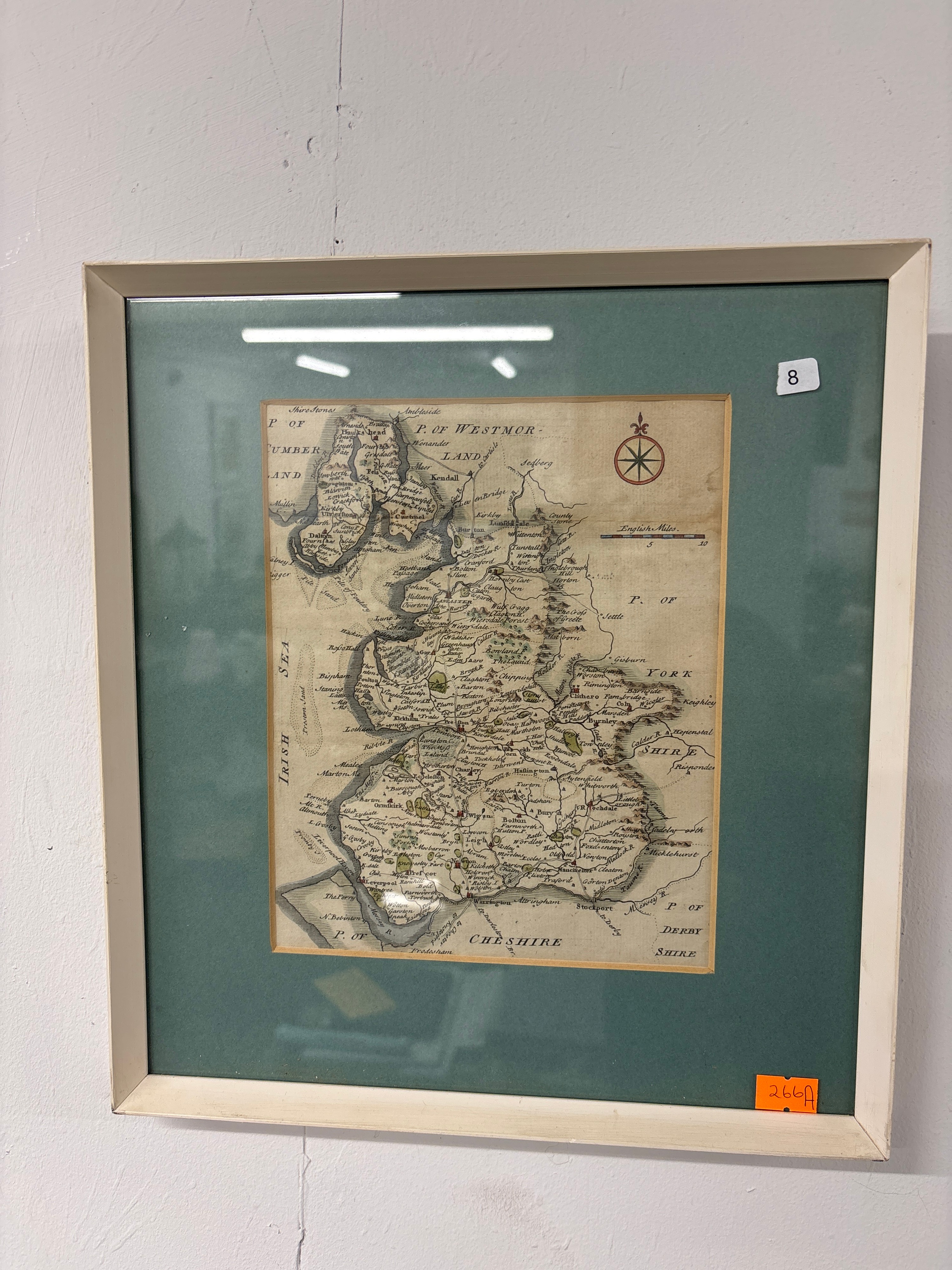
Lot 266a: An Engraved County Map of Lancashire, hand-coloured
A hand-coloured copperplate engraving of the county of Lancashire, presented within a mount and frame. The map includes the surrounding regions marked as P. OF WESTMORLAND, YORK SHIRE, P. OF DERBY SHIRE, and P. OF CHESHIRE, with the IRISH SEA to the west. It features a compass rose in the upper-left corner and an English Miles scale bar to the upper right. The work shows detailed topography including towns, villages, hills, and waterways. The map is printed on laid paper with visible horizontal fold lines. It is housed in a green-toned card mount and a white-painted wooden frame behind glass.
Condition report:
The paper exhibits significant overall toning and age-discolouration across the entire sheet. There are visible horizontal creases, likely from original folding within an atlas. Several areas of localized foxing and staining are present, particularly visible in the lower-left and upper-right quadrants. The frame shows some minor surface wear and scuffing to the white paint. The map is viewed behind glass, which shows reflections from external lighting.
Share this lot: