
Lot 189: A Pair of Framed 1938 Ordnance Survey Maps of Barrow-in-Furness
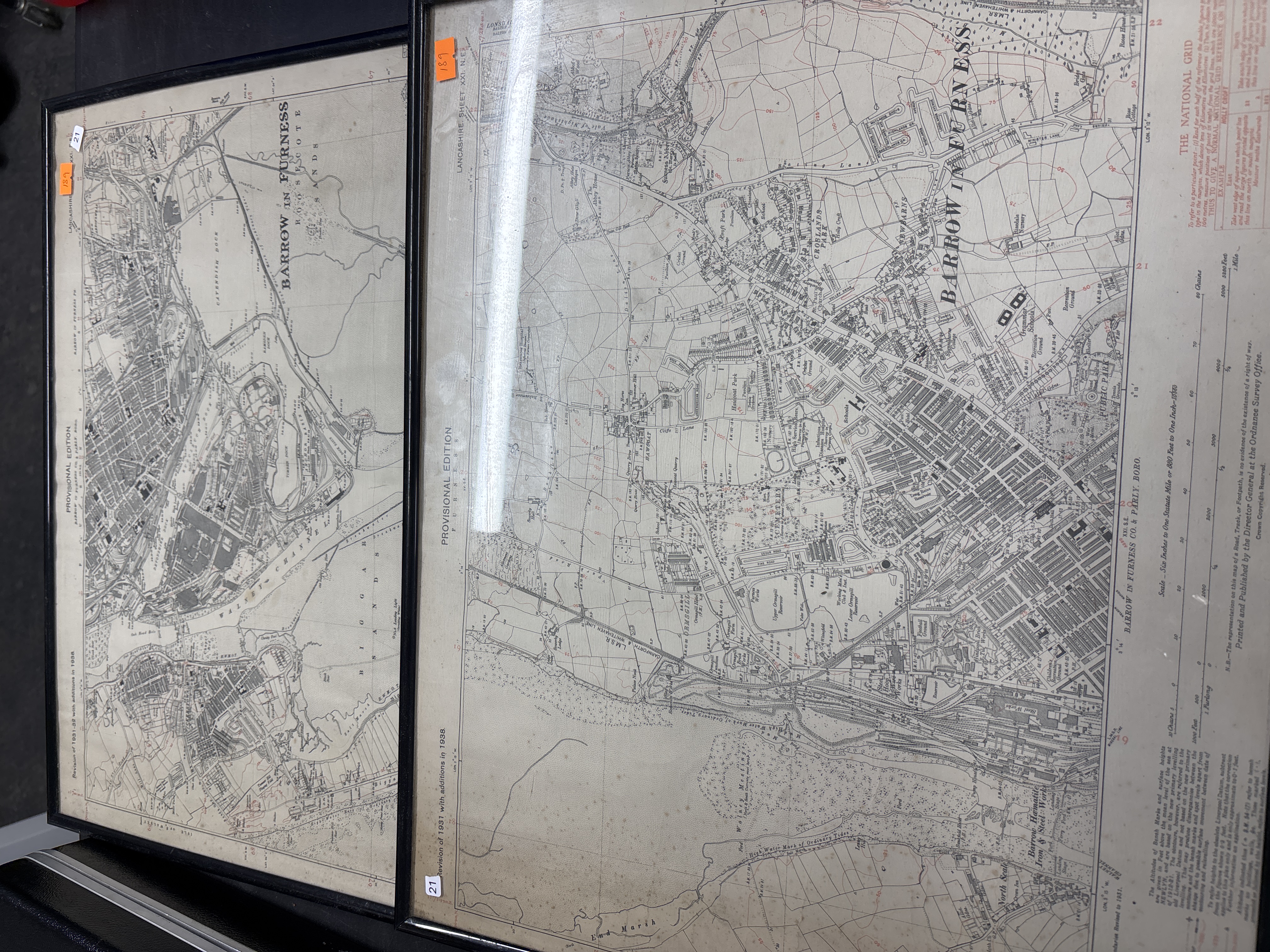
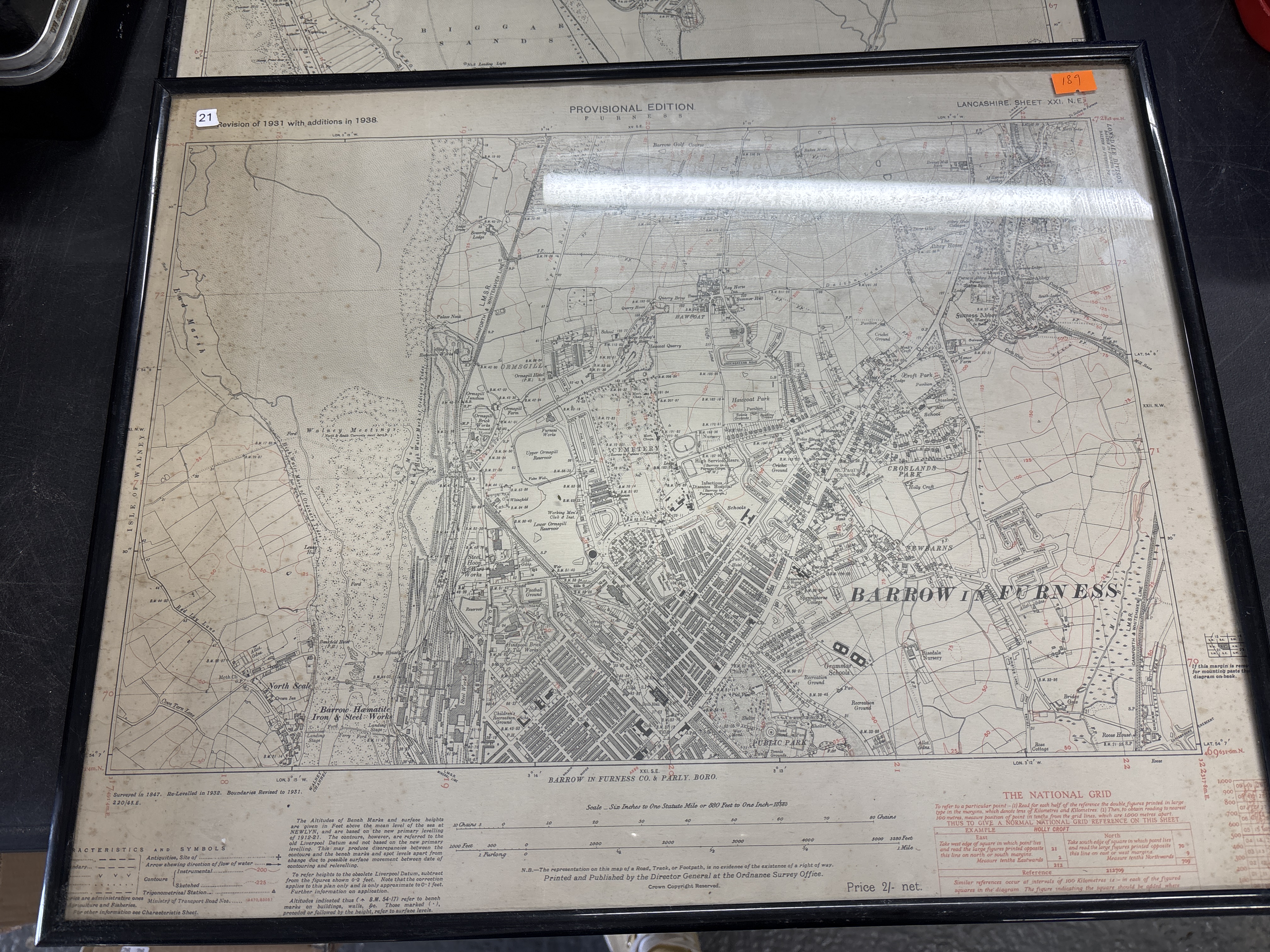
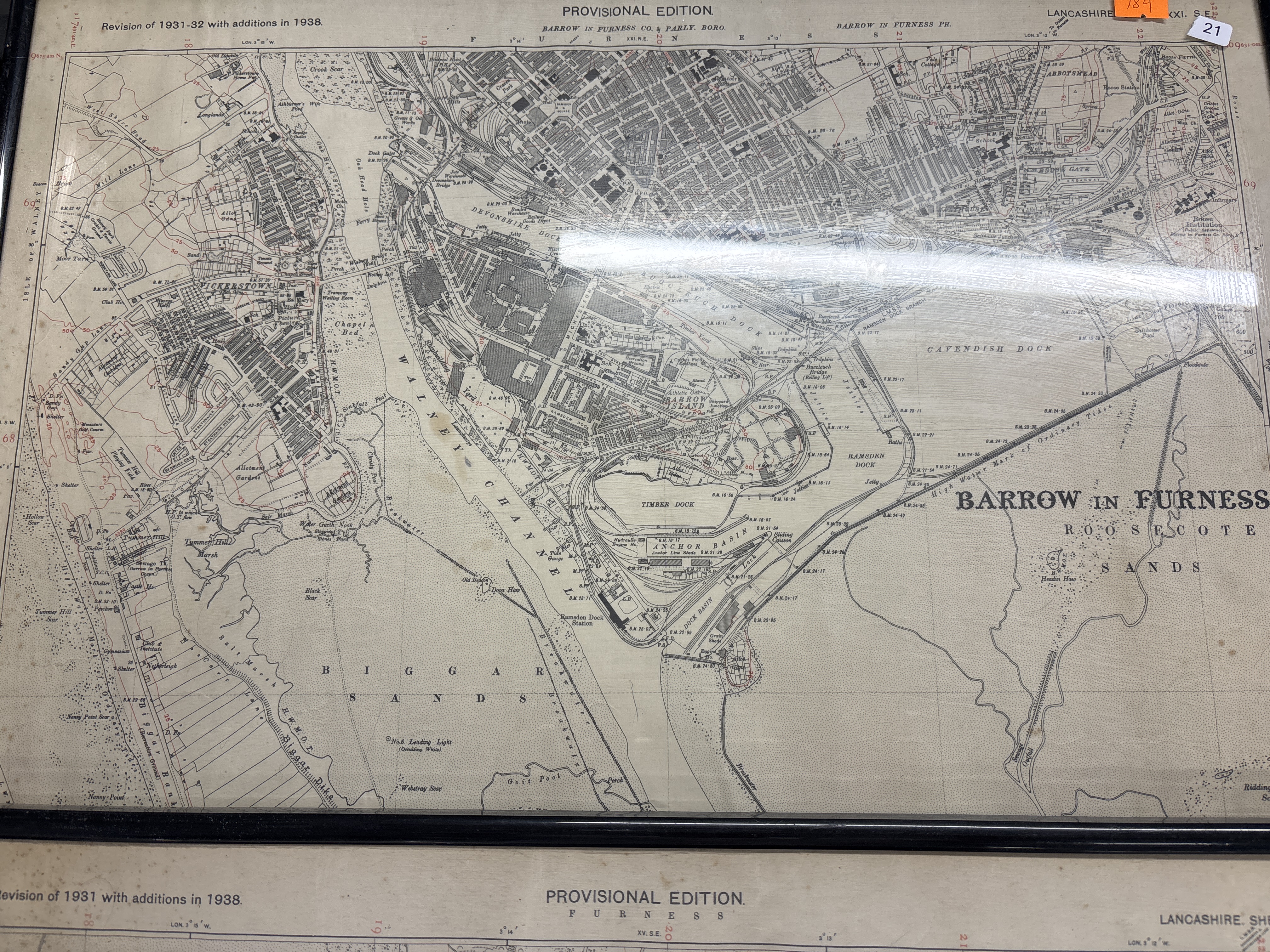
A pair of Ordnance Survey Provisional Edition maps depicting the industrial town and docks of Barrow-in-Furness, Lancashire. The two sheets are identified in the upper margins as Lancashire Sheet XXI N.E. and Lancashire Sheet XXI S.E. Both maps carry the printed heading PROVISIONAL EDITION F U R N E S S. The north-eastern sheet is marked Revision of 1931 with additions in 1938 and the south-eastern sheet is marked Revision of 1931-32 with additions in 1938. The lower margins state they were Printed and Published by the Director General at the Ordnance Survey Office with the text Crown Copyright Reserved and an original price of Price 2/- net. The scale is printed as Six Inches to One Statute Mile or 880 Feet to One Inch – 1/10560. The north-eastern map focuses on Ormsgill, Hawcoat, and the Barrow Hematite Iron & Steel Works. The south-eastern map details the extensive dock system including Devonshire Dock, Buccleuch Dock, Ramsden Dock, and Timber Dock, alongside Vickerstown on Walney Island and the Walney Channel. The maps are presented flat in matching thin black frames. Each frame has an orange adhesive lot sticker reading 189 and a small white adhesive sticker reading 21 affixed to the exterior glass.
Condition report:
Both maps exhibit significant and uniform yellowing and toning across the paper surface (photo 1). There is moderate to heavy foxing and brown spotting throughout both sheets, which is most prominent along the margins and the original horizontal and vertical fold lines (photos 2 and 3). Minor creasing is visible. The frames show light surface wear and the glass remains intact. The maps were originally issued folded and these fold lines remain visible as part of the items history.
Share this lot: