
Lot 240: A Collection of Vintage Ordnance Survey Topographical and Urban Street Maps for Cumbria and Lancashire
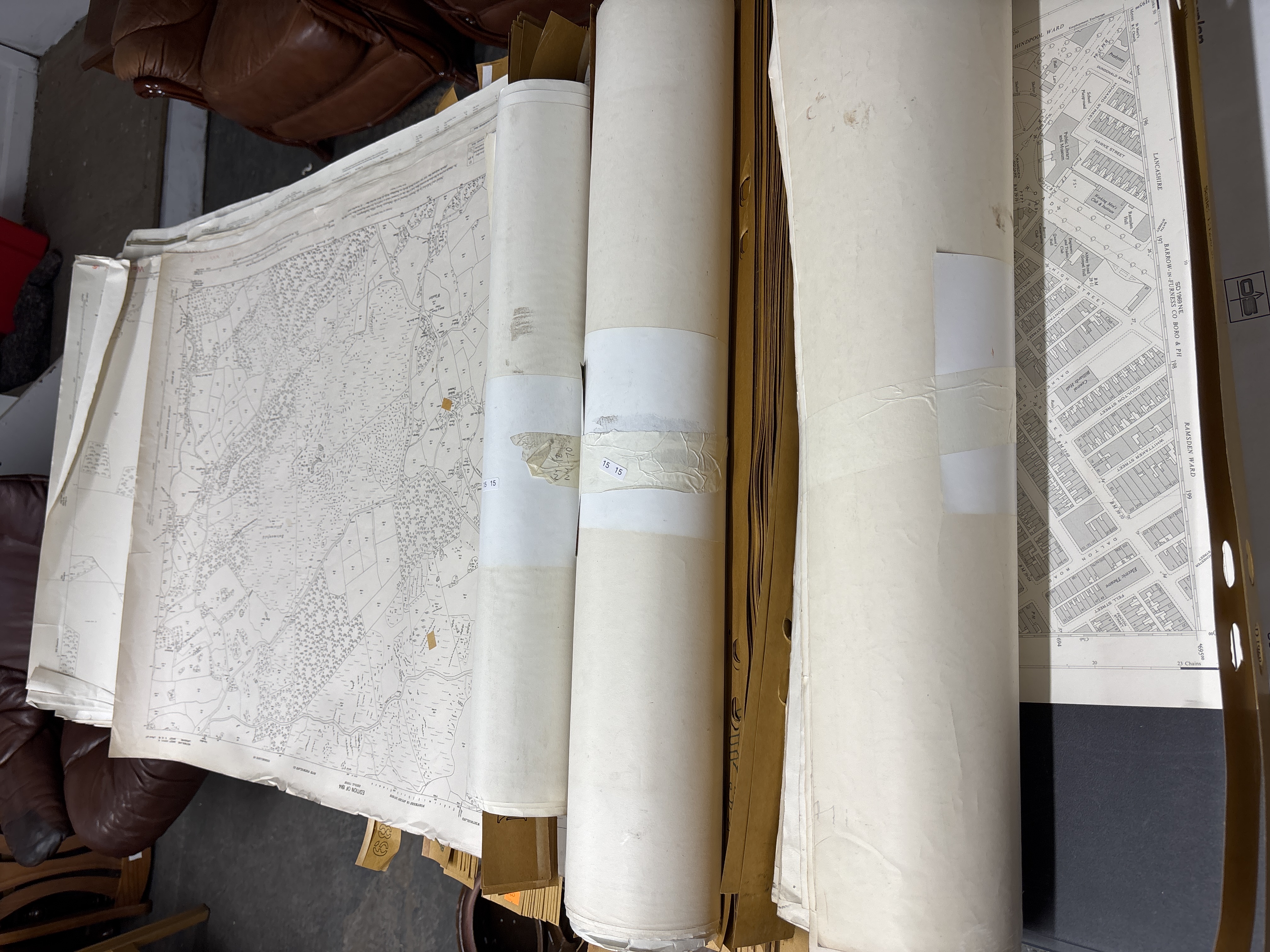
A large collection of vintage paper topographical and street maps, primarily Ordnance Survey publications, focusing on regions in Northern England. The group includes both rolled and flat large-format sheets.
Identified regions include Cumbria (Westmorland and South Westmorland Rural District, Kendal Union), Lancashire, and Barrow-in-Furness. Notable specific sheets include:
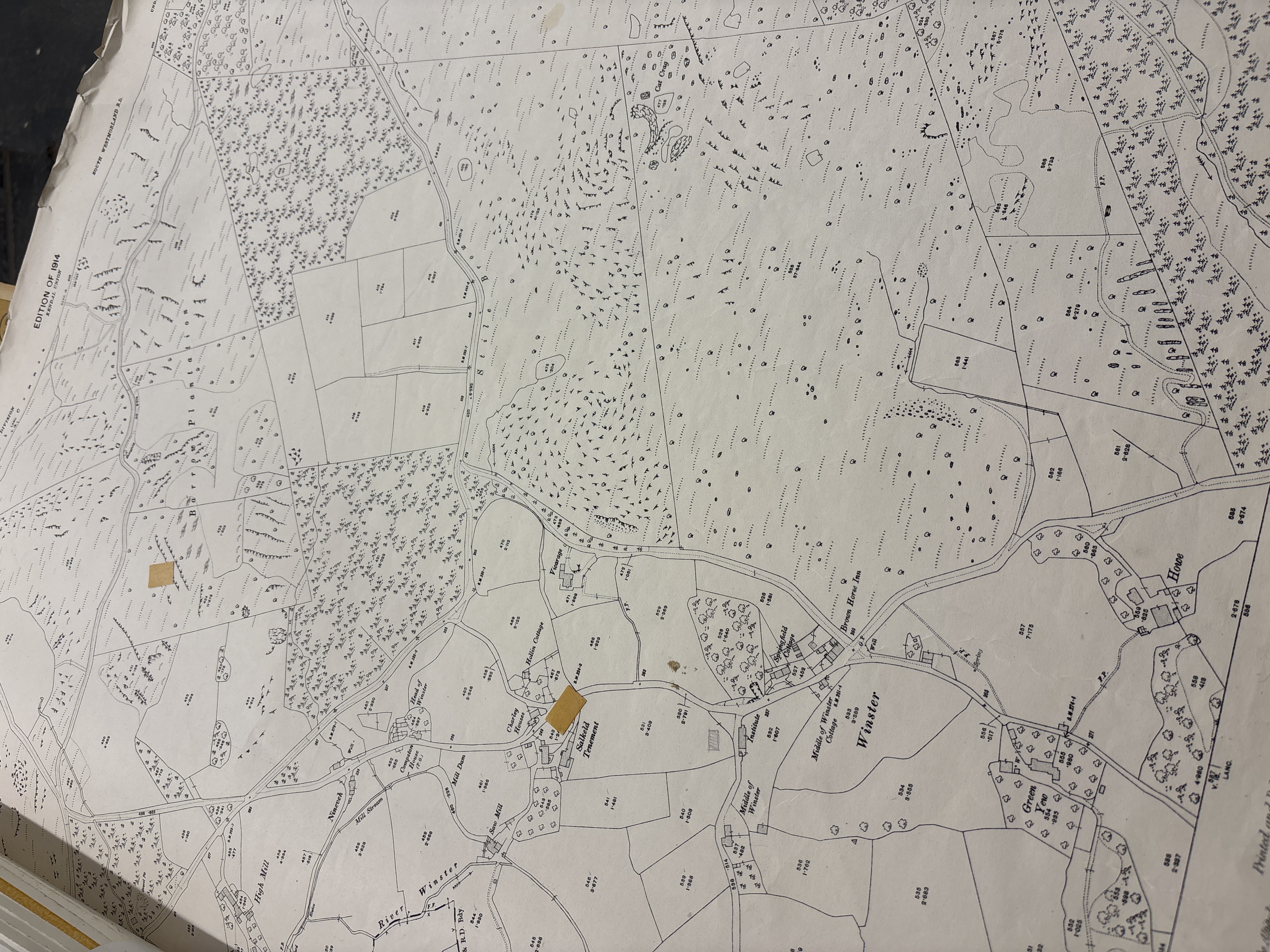
– An Edition of 1914 map for South Westmorland R.D. and Kendal Union. This large-scale topographical sheet depicts the Winster area, including the River Winster, Brown Horse Inn, Salkeld Tenement, Springfield Cottage, The Vicarage, and Hollin Cottage. Field boundaries are recorded with individual acreage measurements.
– Urban street plans for Barrow-in-Furness County Borough and Parish, showing Ramsden Ward and Hindpool Ward. One margin carries the reference SD 1969 NE and is dated 1917.
Several rolled maps are secured with paper bands and bear small white adhesive labels printed with the numbers 15 15. The maps feature detailed cartographic symbols, property boundaries, and historical place names.
Dimensions: approximately 100cm x 70cm per flat sheet.
Condition report:
The collection shows age-related wear throughout. Multiple sheets exhibit significant creasing, folding, and general yellowing of the paper. Foxing and localised staining are present. Some sheets have orange marker highlights and residue from adhesive tape. Minor edge fraying and small tears are visible, consistent with the age and handling of large-scale paper goods. Rolled sheets show some compression from bands.
Share this lot: