
Lot 189: A Collection of Vintage Ordnance Survey of Great Britain New Popular One-Inch Maps
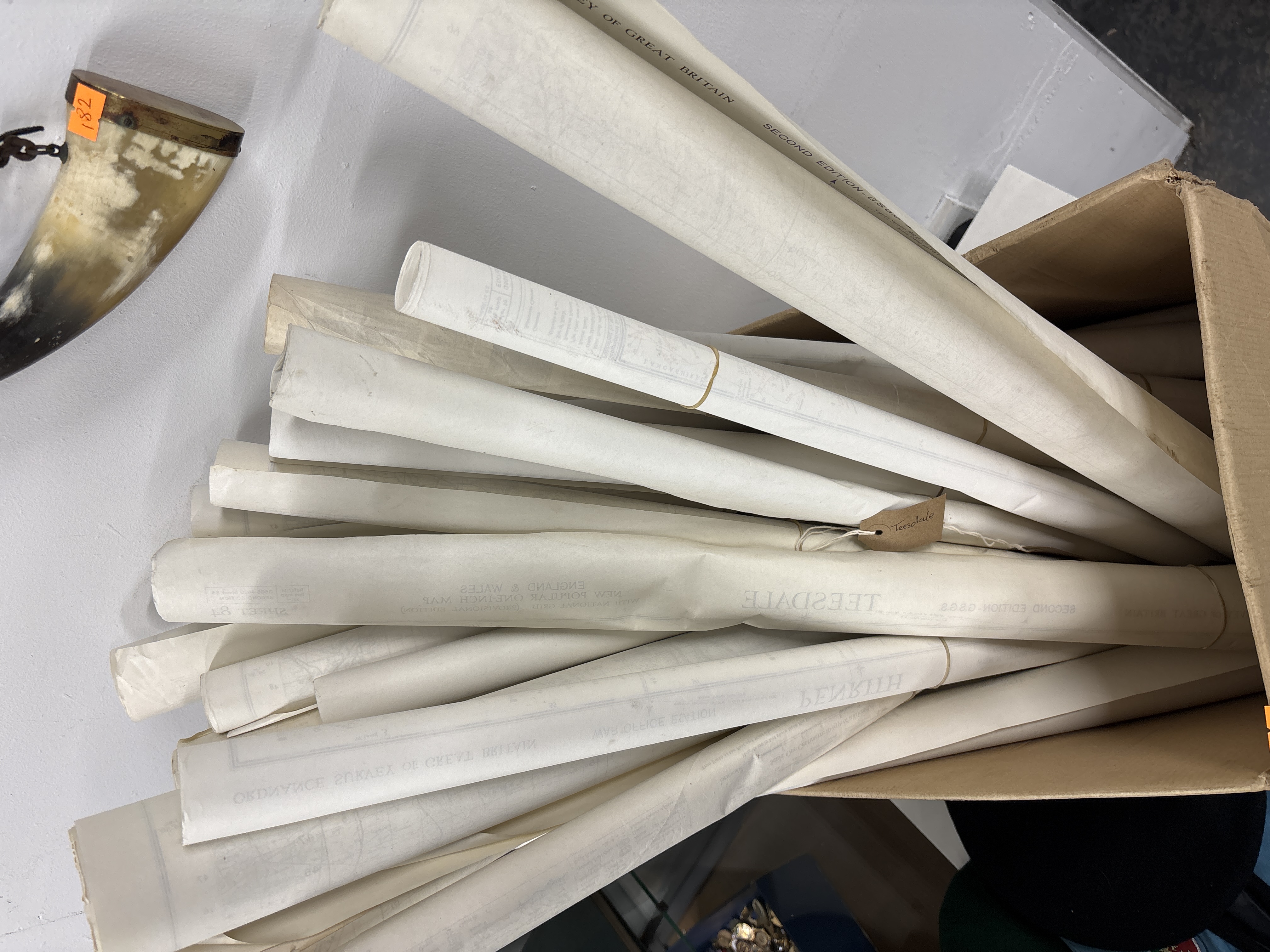
A collection of vintage rolled paper maps produced by the Ordnance Survey of Great Britain. The assortment features maps from the New Popular One-Inch series, with some examples marked as War Office Editions and Second Editions. Printed text identifies coverage of England and Wales, specifically including the National Grid (Provisional). Notable locations and sheet numbers visible on the margins and tags include Teesdale and Sheet 84. The maps are primarily printed on paper and are stored in a rolled format within a cardboard box.
Condition report:
The maps are in varied vintage condition showing typical signs of age. Observable wear includes yellowing of the paper, minor creasing to the edges, and scattered foxing or spotting to the exposed ends of the rolls. Some items remain secured with rubber bands or string. This collection is sold as a single lot and has not been individually examined for internal tears or completeness.
Share this lot: