

Lot 291: A Collection of Local Interest Books and Maps Relating to Furness and the Lake District
A collection of vintage topographical and historical printed materials focused on the Furness area and the Lake District.
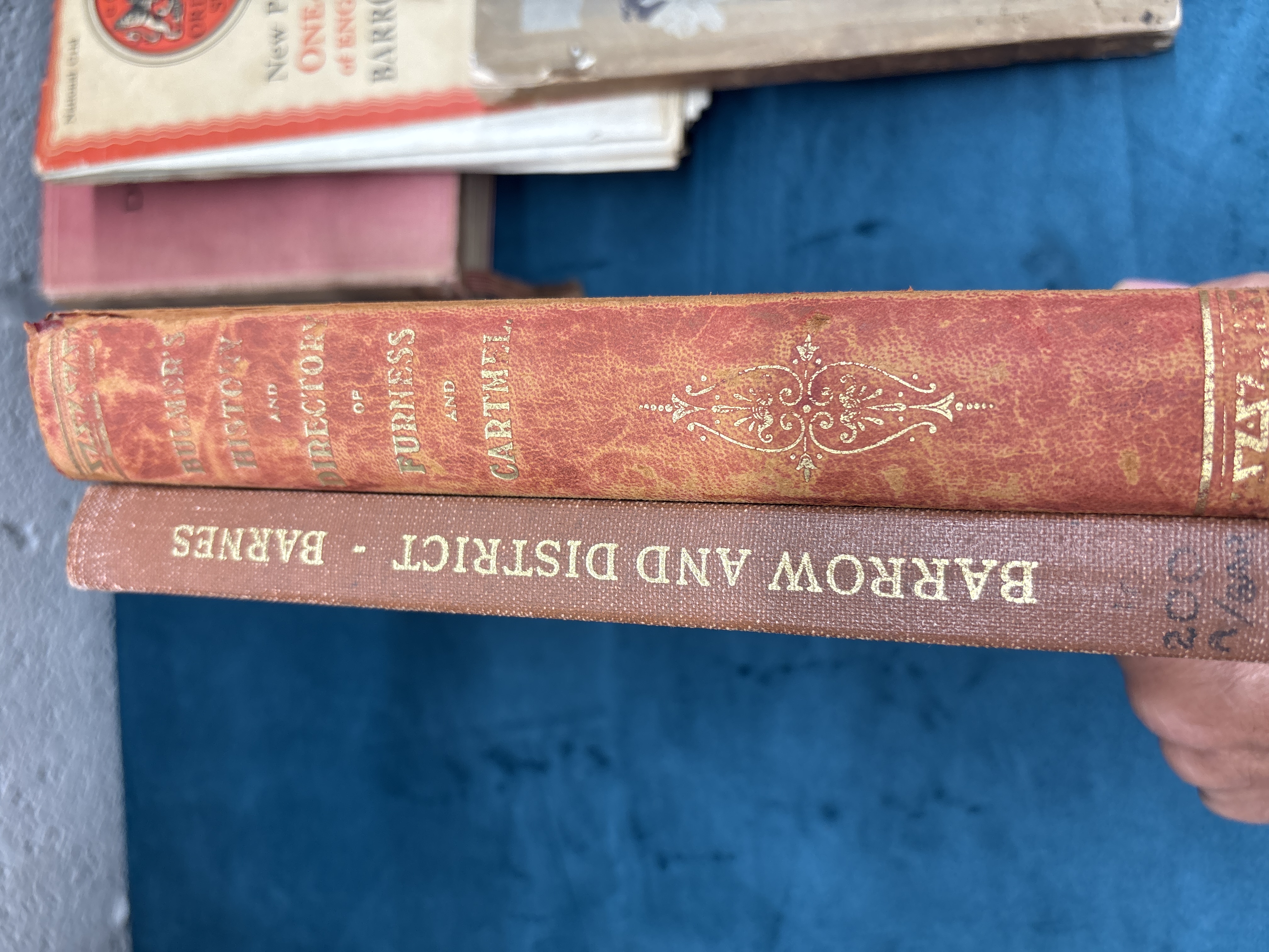
The collection includes a red textured cloth hardcover volume titled Bulmer’s History and Directory of Furness and Cartmel. The spine features gilt-stamped lettering reading BULMER’S HISTORY AND DIRECTORY OF FURNESS AND CARTMEL, surmounted by the word GAZETTEER and decorated with a central fleur-de-lis motif.
A brown cloth hardcover volume is titled Barrow and District, written by F. Barnes. The spine bears gilt-stamped lettering reading BARROW AND DISTRICT – BARNES. A handwritten annotation in black ink at the base of the spine reads 200 over N/A.
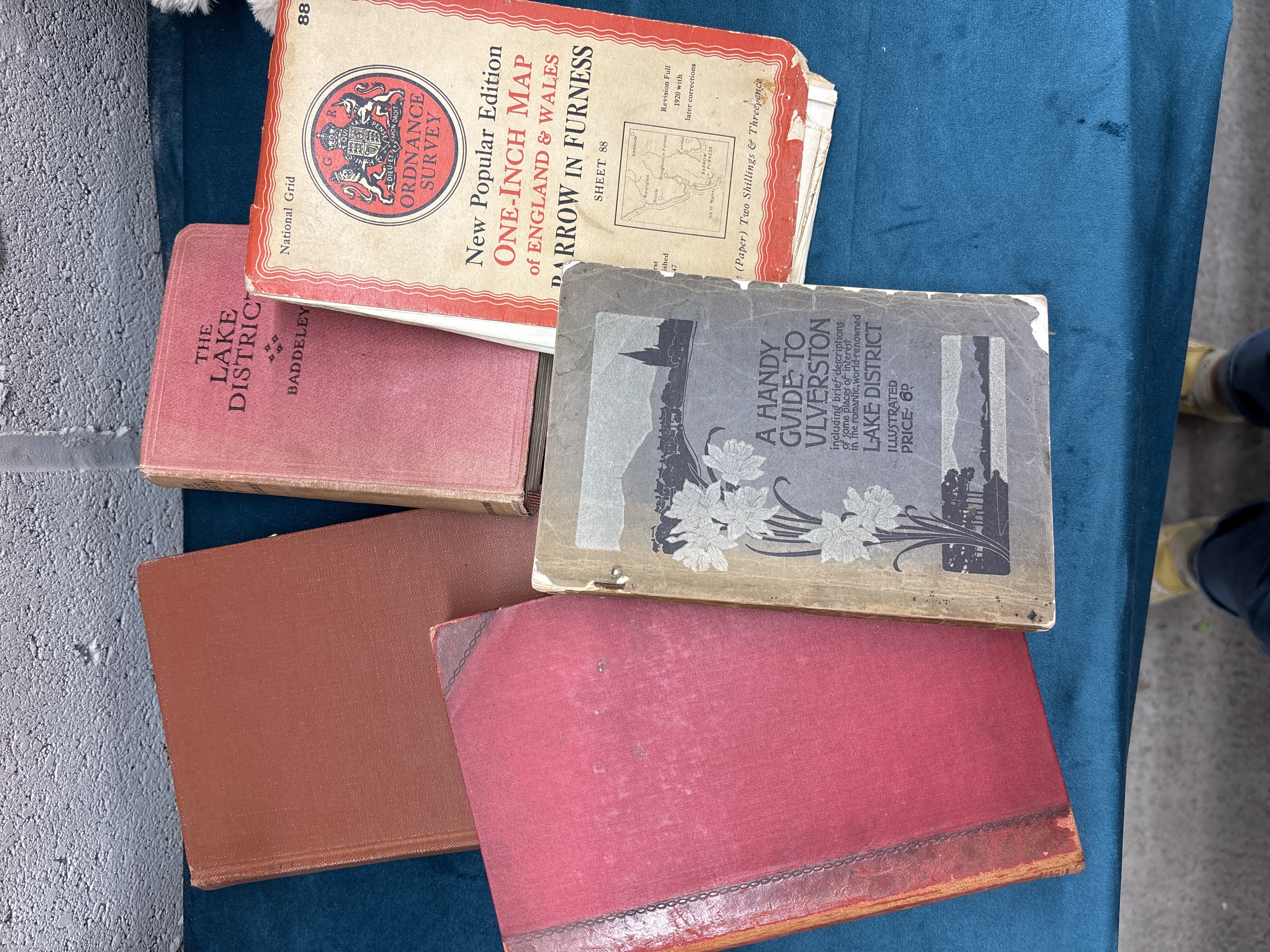
A red cloth hardcover guide by M.J.B. Baddeley is titled The Lake District, part of the Thorough Guide Series. The front cover is printed in black with the title THE LAKE DISTRICT and the name BADDELEY.
A softcover illustrated paper wrapper guide is titled A HANDY GUIDE TO ULVERSTON, including brief descriptions of some places of interest in the romantic, world-renowned LAKE DISTRICT. The cover includes the words ILLUSTRATED and PRICE 6D.
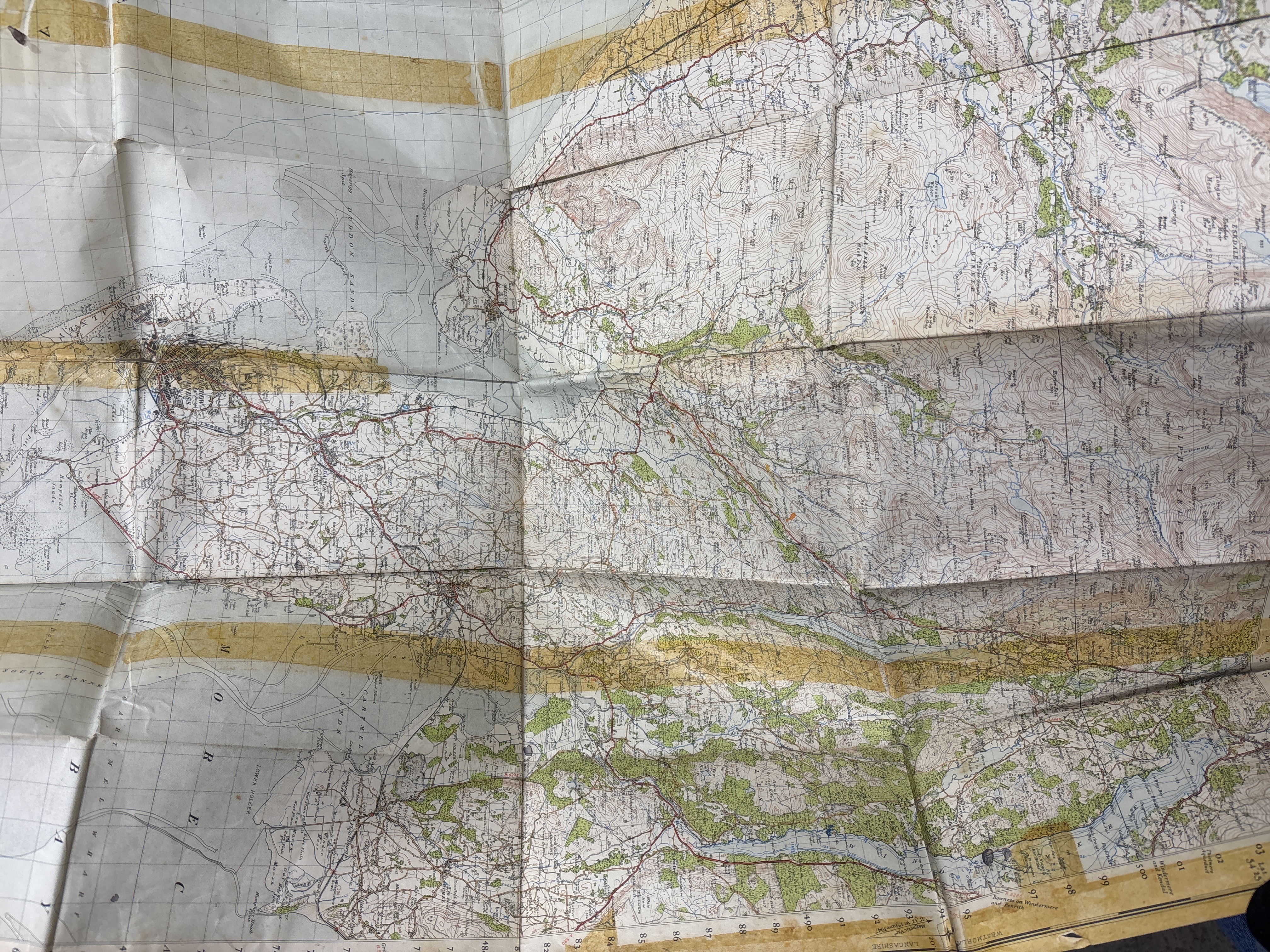
A folded Ordnance Survey map, New Popular Edition, covers Barrow in Furness (Sheet 88). The paper cover bears the printed titles ORDNANCE SURVEY, ONE-INCH MAP of ENGLAND & WALES, and BARROW IN FURNESS SHEET 88. It states a price of (Paper) Two Shillings & Threepence and notes a Revision Full 1920 with later corrections. The interior map sheet is a one-inch to the mile topographical map printed in colours.
The lot also contains a further large volume bound in plain red cloth.
Condition report:
The collection shows general signs of age and shelf wear throughout. The Bulmer’s directory shows rubbing and wear to the spine edges and extremities (photo 2). The Barrow and District volume has minor shelf wear and a handwritten ink catalogue number at the base of the spine (photo 2). The Baddeley Lake District guide exhibits significant fading and wear to the red cloth, particularly at the spine and edges (photo 1). The Handy Guide to Ulverston shows significant chipping and paper loss at the corners and edges of the wrappers, with general surface soiling and age-toning (photo 1). The Ordnance Survey map cover has general wear. The opened map sheet shows prominent horizontal brown staining consistent with old adhesive tape residue along the fold lines, and minor tearing at the fold intersections (photo 3). The large red volume shows surface wear and corner bumping (photo 1).
Share this lot: